

Tour Highlights
Inclusion/Exclusion
Package Cost Includes
Package Cost Excludes
Mar 2025: 1, 2, 3
Day 1: Drive from Haridwar to Joshimath
Distance: 256 km
Time: 9 hours
Altitude: 6,750 ft
Day 2: Drive from Joshimath to Dhak Village and Trek to Gulling
Drive Distance: 10 km
Trek Distance: 6 km
Time: 3-4 hours trek
Altitude: 9,600 ft at Gulling
Day 3: Trek from Gulling to Kuari Pass, Return to Lower Khullara Camp
Distance: 12 km round trip
Time: 6-7 hours
Altitude: 12,500 ft at Kuari Pass
Day 4: Trek to Pangarchulla Summit, Return to Lower Khullara
Distance: 12 km round trip
Time: 10-11 hours
Altitude: 15,069 ft at the summit
Day 5: Trek from Lower Khullara to Auli via Gurson Bugyal, Drive to Joshimath
Trek Distance: 10 km
Drive Distance: 14 km
Time: 5-6 hours trek, 45-minute drive
Altitude: 8,200 ft at Auli
Day 6: Drive from Joshimath to Haridwar
Distance: 256 km
Time: 9 hours
Altitude: 6,750 ft at Haridwar
Pangarchulla Peak Trek Overview
Embark on an unforgettable journey to the majestic Pangarchulla Trek, a hidden gem nestled in the heart of the Garhwal Himalayas. Situated at 15069 feet above sea level in the quaint religious town Joshimath, Chamoli District, Uttarakhand. This moderate to challenging trek promises breathtaking scenery and a thrilling experience for experienced trekkers seeking true adventure.
Although a relatively new addition to the trekking circuit with the old name of Lord Curson Circuit, the Pangarchula Peak trek has become increasingly popular due to the stunning views of the snow-capped Himalayan giants. As you start walking on this wonderful path, you will pass through a variety of landscapes. You will see beautiful meadows with wildflowers, dense alpine forests, and rough rock formations. The trek trails of Kuari Pass Summit of 3650 meters (12000 ft) are in the way of the Pangarchulla Peak. Last-day ascents trekking differs from the Kuari Pass summit to Pangarchulla with altitude gains of 4000 ft.
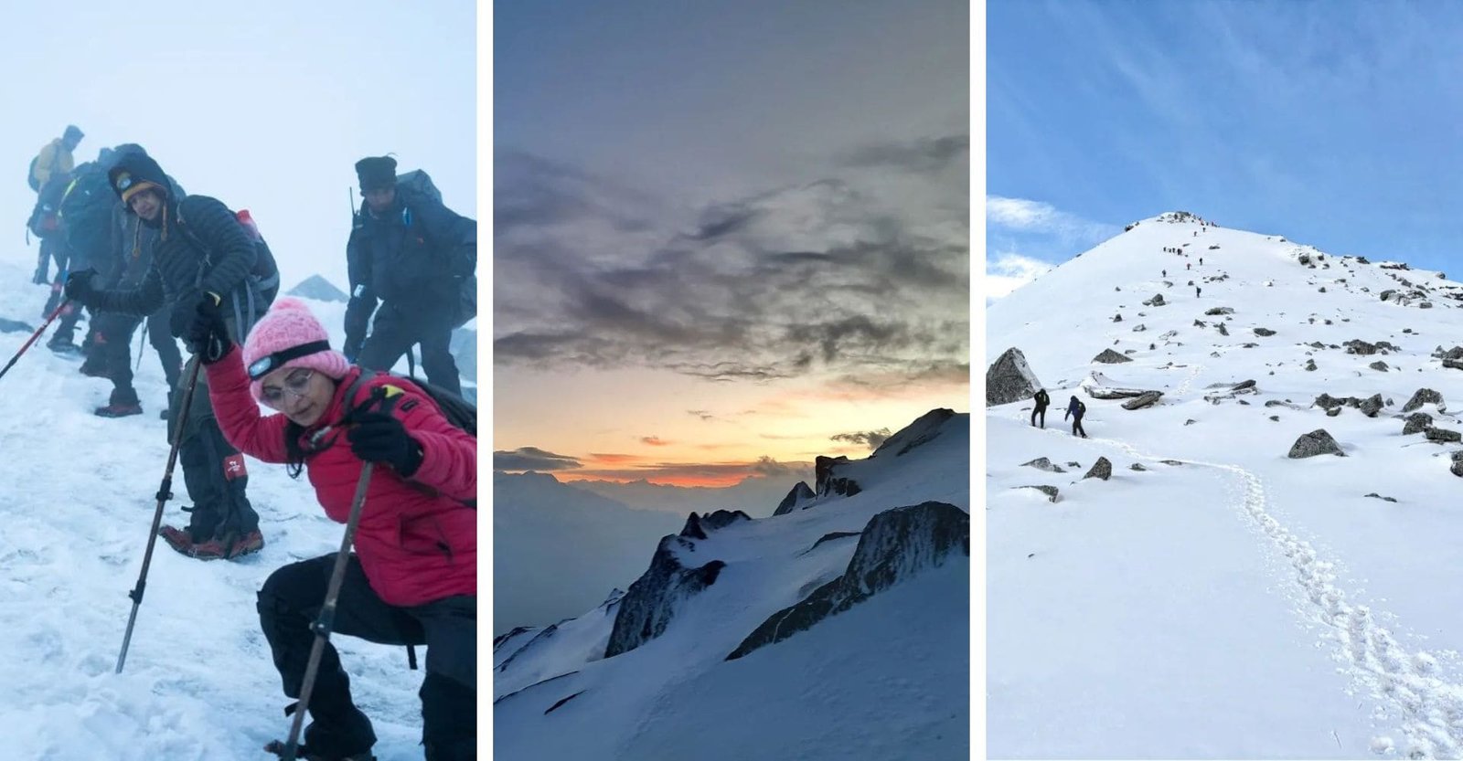
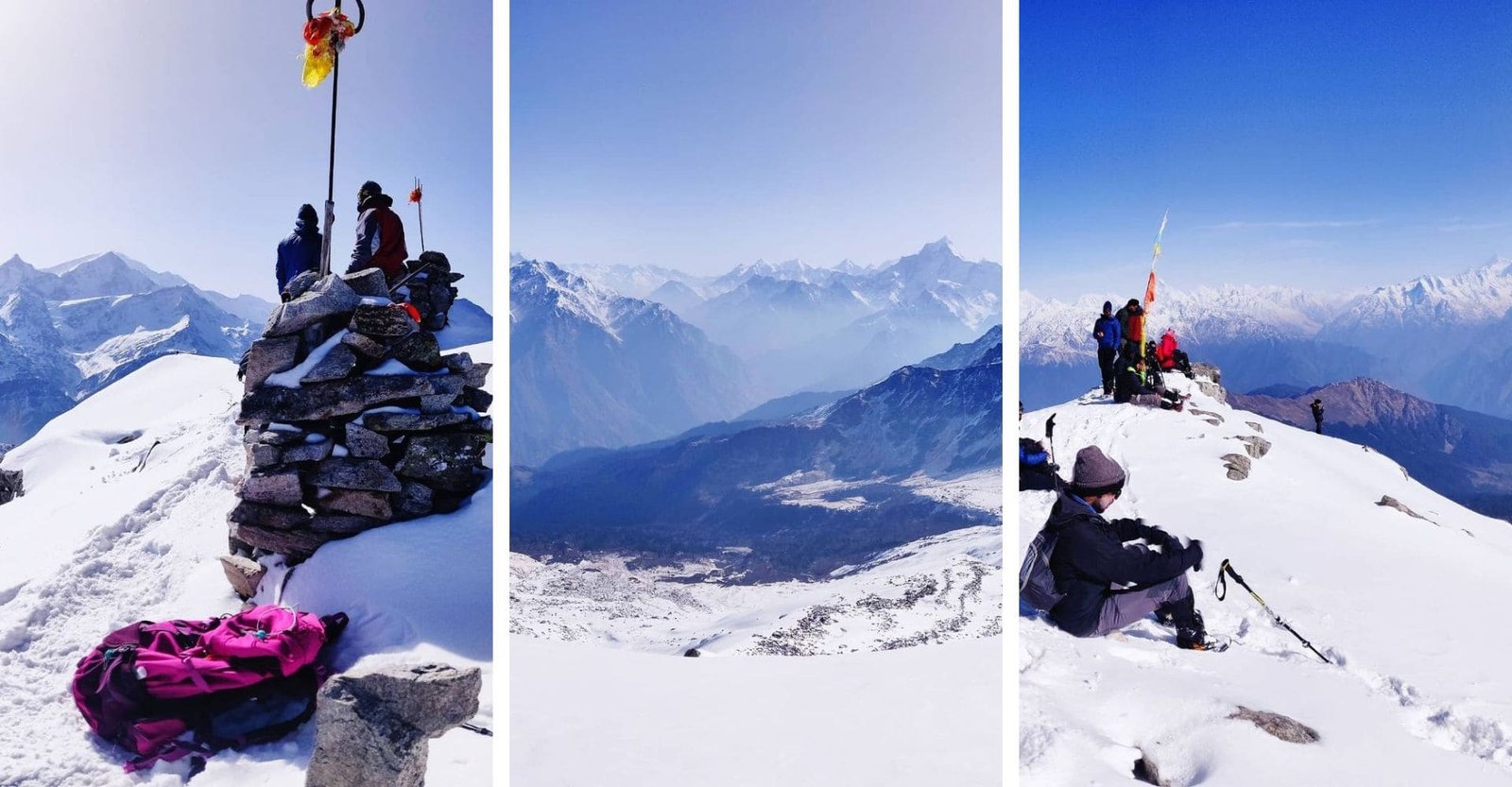
The most spectacular achievement of the trek awaits you at the summit of Pangarchula Peak, from where you will get to see a panoramic view of the Himalayan range. Imagine standing atop this majestic peak, surrounded by the towering presence of Nanda Devi, Trishul, and Kamet, three of the most iconic mountains of the Himalayas.
According to local folklore, this peak is believed to be the abode of the divine sage Pangu Rishi. Also, the Pangarchulla path is taken by Pandavas to Mt Swargrohini and another story comes to believe that Pangarchulla was Lord Ganeshas playground. Trekkers can immerse themselves in the rich local traditions and customs as they pass through quaint villages and interact with the warm-hearted Garhwali people. Each step of this journey is an opportunity to connect with the vibrant heritage of the region and gain a deeper understanding of its fascinating past.
Best Time to Trek Pangarchulla
When planning the Pangarchulla Peak Trek, it is important to select the optimal time to ensure a safe and enjoyable experience. Here is a detailed outline of the best time to go on this trek, highlighting the unique aspects of each season, including day and night temperatures.
1. Spring to Summer (April to June)
Weather and Conditions:
• Daytime temperature: 12°C to 20°C
• Night temperature: 2°C to 8°C
• Weather: Clear skies, warm temperatures, minimal rainfall
Features:
• Transition from spring to summer with vibrant wildflowers
• Meadows and alpine forests transform into a colorful tapestry of blooming rhododendrons, potentilla, primula, and other floral species
• Lush green surroundings with the backdrop of snow-capped peaks create a breathtaking visual symphony
Experience:
• Less crowded trails and campsites than during peak tourist season
• Quiet trekking experience with ample opportunities to connect with nature
• Occasional little rain or snowfall adds an element of adventure
Benefits:
• Optimal trekking conditions with beautiful scenery
• Fewer number of trekkers Reason More peaceful and relaxing experience
2. Winter (December to February)
Weather and Conditions:
• Day Temperature: -5°C to 5°C
• Night Temperature: -10°C to -15°C
• Weather: Snow-covered trails, cold temperatures
Features:
• Charm of snow-capped peaks and frozen landscapes
• Snow-covered trails, offer a different and serene trekking experience
Experience:
• Requires a high level of physical fitness to handle challenging winter conditions
• Panoramic winter views for experienced trekkers
Benefits:
• Unique winter trekking opportunity with stunning snowy landscapes
• Fewer trekkers, resulting in a more secluded and serene experience
3. Optimal Weather: May onwards June
While the Pangarchulla Peak trek offers unique experiences from the vibrant spring to summer and cool winter months, the best time to go on this trek is undoubtedly between May and June. During this period, trekkers can enjoy:
• Clear skies and warm temperatures
• Vibrant displays of wildflowers and lush surroundings
• Less crowded trails and campsites, allowing for a more calm and peaceful trekking experience
Additionally, while mountain weather can be unpredictable, the right preparation and gear can ensure a safe and enjoyable adventure. Choosing the optimal time for your trek can help you maximize your enjoyment and create lasting memories.
How Difficult Is the Pangarchulla Trek?
The Pangarchulla Peak trek is a challenging endeavor that demands physical fitness, mental fortitude, and a strong sense of adventure. While it may not be suitable for beginners or those seeking a stroll, it offers an unparalleled experience for seasoned trekkers and those with a thirst for exhilarating challenges.
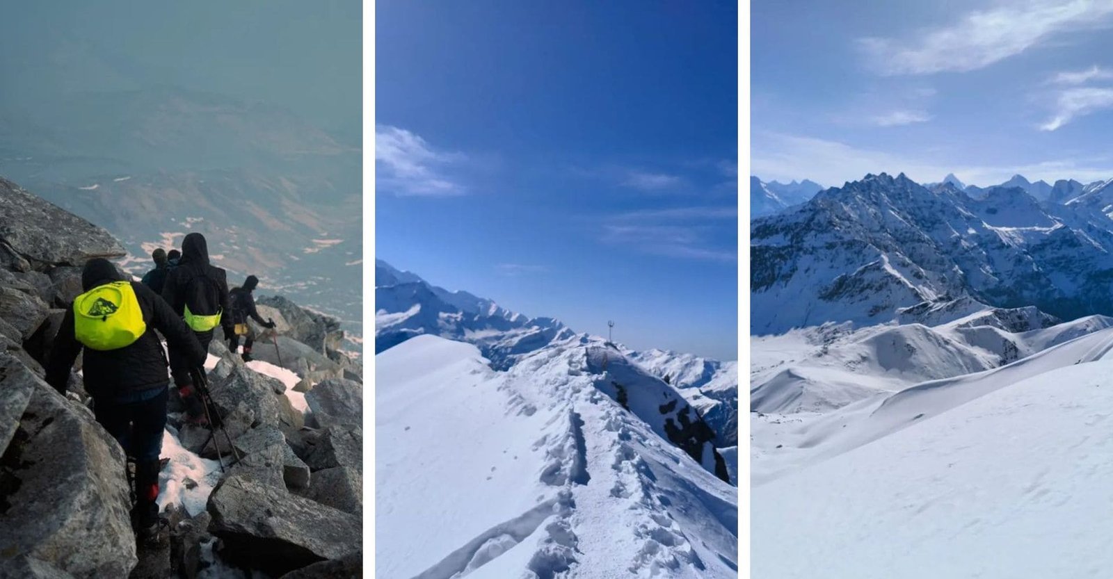
The trail to Pangarchulla Peak is characterized by steep ascents, rocky terrain, and significant Pangarchulla Peak altitude gain. Trekkers must navigate narrow ridges, traverse rocky outcrops, and endure the relentless uphill climb. The altitude gain from the start of the Dhak Village trek to the top is a lot. This means that trekkers need to get used to the heights to avoid getting sick at the top.
Adding to the challenge is the unpredictable weather in the Himalayas. Trekkers must be prepared for sudden changes in weather conditions, including rain, snowfall, and strong winds. The trail can become slippery and hazardous during wet weather, demanding extra caution and vigilance.
Despite its challenges, the Pangarchulla Peak trek is an incredibly rewarding experience. The breathtaking views from Gulling Top views and the summit of Pangarchulla Peak are simply awe-inspiring. The sense of accomplishment upon reaching the summit makes all the efforts and challenges worthwhile.
If you an experienced trekker seeking an unforgettable Himalayan trek, the Pangarchulla Peak trek may be the perfect challenge for you. Embrace the difficulties, prepare meticulously, and embark on this incredible journey to witness the majestic beauty of the Garhwal Himalayas.
How to Reach the Pickup Location of the Pangarchulla Trek
The starting point for the Pangarchulla Peak trek is Dhak Village. To reach Dhak Village, you must first get to Joshimath, the pickup location for the trek. Joshimath is a beautiful town situated in the Chamoli district of Uttarakhand, India, nestled at an elevation of 6,100 feet and offering captivating vistas of the majestic snow-capped Himalayan peaks.
By Air:
By Train:
By Road:
Once you reach Joshimath, you can either hire a taxi or take a shared jeep to Dhak Village. The drive from Joshimath to Dhak Village takes approximately 2 hours and offers stunning views of the surrounding mountains and valleys. During the drive, you pass through several charming villages and experience the warm hospitality of the local Garhwali people.
Dhak Village is the starting point for the Pangarchulla Peak trek. From here, you start a memorable journey through beautiful meadows, thick forests, and rough terrain, culminating at the top of Pangarchulla Peak with breathtaking views of the Himalayas.
Pangarchulla Trek Itinerary
Day 1: Drive from Haridwar to Joshimath.
Distance: 256 km
Time: 9 hours
Altitude: 6,750 ft
Weather Conditions: Mild and pleasant, with temperatures ranging from 15°C to 25°C during the day and cooler at night.
Your journey begins with a scenic drive from Haridwar to Joshimath, nestled in the Garhwal Himalayas. The route takes you through picturesque landscapes, winding roads, and charming villages. As you ascend, the temperature drops, offering a refreshing escape from the plains. The drive is long but rewarding, setting the stage for the adventure ahead.
Day 2: Drive from Joshimath to Dhak Village and Trek to Gulling.
Drive Distance: 10 km
Trek Distance: 6 km
Time: 3-4 hours trek
Altitude: 9,600 ft at Gulling
Weather Conditions: Cool and pleasant, with daytime temperatures between 12°C and 18°C, and cooler evenings.
The trek officially begins with a short drive to Dhak Village, where you start your ascent. The trail from Dhak to Gulling is a moderate climb through dense forests and quaint villages, offering glimpses of local life and culture. As you gain altitude, the landscape transforms, and you find yourself amidst lush greenery and terraced fields. The trek to Gulling is relatively short, making it an excellent warm-up for the days ahead. Set up camp and enjoy the serene surroundings as the stars begin to twinkle overhead.
Day 3: Trek from Gulling to Kuari Pass, Return to Lower Khullara Camp.
Distance: 12 km round trip
Time: 6-7 hours
Altitude: 12,500 ft at Kuari Pass
Weather Conditions: Variable, with temperatures ranging from 10°C to 15°C during the day and colder at night, with potential wind chill.
Today trek takes you to the famous Kuari Pass, also known as the “Curzon Trail.” The trail winds through rhododendron forests and alpine meadows, offering stunning, including Nanda Devi and Dronagiri. The ascent is steady but challenging, with rocky terrain and varying elevations. Upon reaching Kuari Pass, take in the panoramic vistas before descending to the Lower Khullara Camp for the night. The campsite is nestled in a serene valley, providing a tranquil setting to rest and rejuvenate.
Day 4: Trek to Pangarchulla Summit, Return to Lower Khullara.
Distance: 12 km round trip
Time: 10-11 hours
Altitude: 15,069 ft at the summit
Weather Conditions: Cold and windy, with temperatures ranging from -5°C to 5°C during the day and much colder at night. Possible snowfall at higher altitudes.
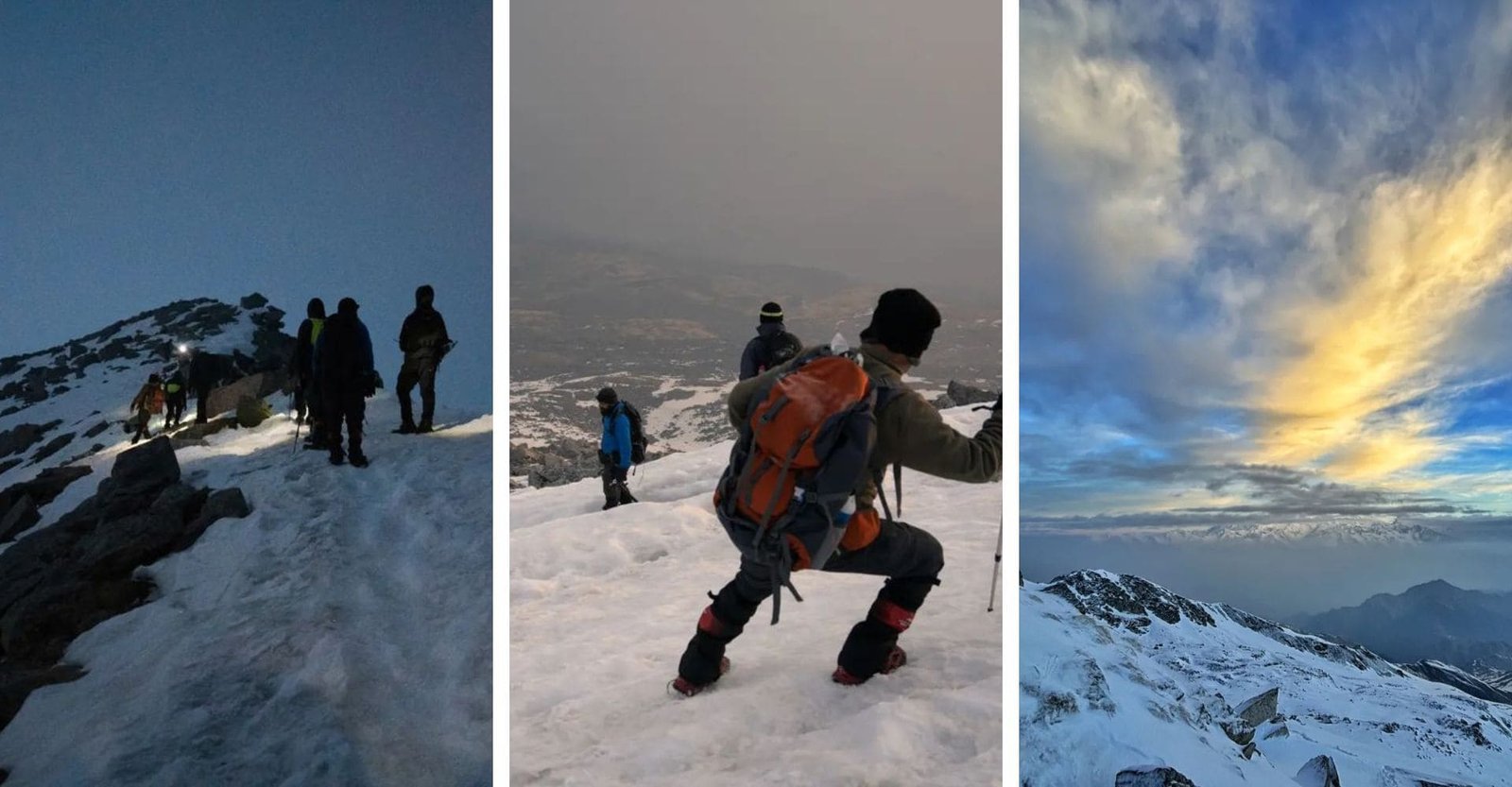
The summit day is both the most demanding and the most rewarding part of the trek. An early start is essential to reach the peak by sunrise. The trail to Pangarchulla Peak is steep and rocky, requiring both physical and mental fortitude. As you climb, the first rays of sunlight illuminate the snow-capped peaks, creating a breathtaking spectacle. From the summit, enjoy 360-degree views of the Himalayan range, including peaks like Chaukhamba, Hathi Ghoda, and Nanda Devi. After soaking in the views and capturing memories, descend back to Lower Khullara Camp for a well-deserved rest.
Day 5: Trek from Lower Khullara to Auli via Gurson Bugyal, Drive to Joshimath.
Trek Distance: 10 km
Drive Distance: 14 km
Time: 5-6 hours trek, 45-minute drive
Altitude: 8,200 ft at Auli
Weather Conditions: Mild and pleasant, with daytime temperatures between 12°C and 18°C.
The final day of trekking takes you through the picturesque Gurson Bugyal, a vast meadow offering stunning views of the surrounding peaks.Enjoy the serene beauty of the meadows, dotted with wildflowers and grazing sheep. From Auli, a short drive brings you back to Joshimath, where you can relax and reflect on your journey. Joshimath offers basic amenities and a chance to unwind before heading back.
Day 6: Drive from Joshimath to Haridwar.
Distance: 256 km
Time: 9 hours
Altitude: 6,750 ft at Haridwar
Weather Conditions: Mild and warmer, with temperatures ranging from 15°C to 25°C.
As you descend from the mountains, take in the changing landscapes and reflect on the adventure you just completed. The long drive offers ample time to reminisce about the treks
highlights and plan future adventures.
Why Choose Our Pangarchulla Trek Package?
Pangarchulla Trek: Essentials
Trekking is undoubtedly one of the most thrilling adventures one can experience. With the breathtaking beauty of nature and the unparalleled charm of pristine mountain ranges, trekking stands out as a unique adventure worldwide. However, every great experience comes with its own set of responsibilities. Before embarking on a trek, there are certain important aspects to consider. Here a list of essential items and requirements to keep in mind for a successful trekking experience. Lets take a closer look at these trekking prerequisites.
Things You Can not Afford Missing On Trek
1. Backpack/RukSack
A high-quality backpack with sturdy, durable straps and a comfortable carrying design is essential for any trekking adventure. The more comfortable it is to carry, the more enjoyable your trek will be.
2. Trekking Shoes
Regular sports shoes can be problematic on a trek and may end up diminishing your experience. To navigate slippery patches and stream crossings safely, invest in a pair of trekking shoes with excellent grip. They will not only keep you steady but also significantly enhance your overall trekking experience.
Clothing
Choosing the right clothing is crucial for trekking, but there is no need to overpack for what-if scenarios. Stick to the essentials and carry only what you will typically need. Overpacking will only add unnecessary weight, making the trek more challenging. During the trek, frequent clothing changes are usually unnecessary as long as you maintain proper hygiene.
Three Warm Layers Jacket
At high altitudes, temperatures can drop significantly after sunset. To stay warm at campsites, it essential to have an additional layer, such as a padded jacket, paired with a fleece and thermal wear.
Trek Pants
Avoid wearing jeans or denim as a substitute for trek pants, as they are not comfortable for trekking or staying at campsites. Instead, wear one pair of trek pants and carry two additional pairs.
T-Shirts
Wearing full-sleeved t-shirts is recommended to protect yourself from sunburn. If you are trekking during the rainy season, carrying one or two dry-fit t-shirts can be a smart choice. Despite the cold weather, trekking often causes sweating, so its important to change into fresh clothes at campsites to avoid falling ill.
Warmers
Warmers or thermals can be included based on individual health needs and sensitivity to cold climates.
Accessories
Sunglasses
Sunglasses are essential for preventing snow blindness. Although you are unlikely to encounter snow in October, it still a good idea to carry a pair just in case.
Sun Cap
The sun feels more intense when trekking on mountain slopes. Carry a sun hat to protect your head and neck from the heat, especially if you are trekking later in the day.
Hand Gloves
A pair of fleece or woolen gloves and a pair of waterproof, windproof gloves.
Balaclava
You may utilize woolen scarves rather too.
Socks
In addition to two pairs of sports socks, bring a couple of woolen socks for the night to keep your feet warm in cold temperatures.
Headlamp / Tourch
Trekking Stick
Using a trekking pole during a trek can be a blessing. While it might occasionally feel like an unnecessary item, it becomes incredibly useful, especially during steep ascents. It significantly reduces the effort required to tackle the challenging inclines of high altitudes, which can otherwise be quite exhausting.
Other Essentials to Carry
Carrying an additional lightweight pack is a great practice for one-day summits or treks where you return to your campsite by the end of the day. Use this pack to carry essentials like a water bottle, first aid kit, and snacks. It helps you avoid the burden of carrying unnecessary weight.
Toiletries
Choose your cosmetic and daily-use products wisely, prioritizing biodegradable options. If you must use non-biodegradable items, ensure you do not leave any residue on the mountains. Always carry a zip bag to store such waste after use. The same approach applies to sanitary napkins, which should also be responsibly disposed of.
Water Bottles
To stay hydrated during your trek, it essential to carry your own water bottles. Avoid using disposable plastic bottles, as leaving plastic waste in the mountains harms the fragile high-altitude environment.
Plastic Bags
To stay organized, compartmentalize your items into plastic zip bags and carry a few extras for wet clothes and other waste items.
Mandatory Documentation
When embarking on a trek, there are specific rules and regulations you must follow. The Mountain Trekker handles all the necessary paperwork as part of the package. This includes registration fees, document verification, and obtaining required permissions to help preserve nature and its timeless heritage.
If you wish to hire a guide, you can do so for an additional fee along with minimal paperwork.
Required Documents:
Please bring the following documents. Items 2 and 3 must be downloaded (PDF format), completed, signed, and submitted to the trek leader at the base camp:
Measures Taken by The Mountain Trekker to Ensure the Security of Trekkers
Trekking is a unique adventure that requires both physical and mental preparation to handle the best and the worst situations. High altitudes can make breathing challenging, while the breathtaking scenery of pristine mountains can momentarily leave you spellbound. Alongside physical and mental readiness, several health considerations must be addressed before embarking on a trek.
The Mountain Trekker, with its team of trained professionals, leaves no stone unturned to provide the best trekking experience while prioritizing safety. Here are the key measures The Mountain Trekker implements to ensure the security of its trekkers:
Fitness Assessment
Trekking at high altitudes requires endurance and fitness. Individuals with physical or physiological ailments are advised against high-altitude treks initially. To ensure trekkers’ safety, we evaluate fitness levels by checking parameters such as Body Mass Index (BMI) and requiring fitness certification. This minimizes risks during the trek.
Acclimatization is crucial for adapting to high-altitude climates. A designated rest day allows trekkers to adjust to the environment and its conditions.
Health monitoring is conducted regularly during the trek by trek leaders. This includes checking blood pressure, oxygen levels, and pulse rate, with all details recorded in a health card. Trekkers can collect their health card from the trek leader at the end of the trek.
Medical Kit for High-Altitude Trekking
The Mountain Trekker equips its medical kits with essential tools and medications to address high-altitude emergencies. These include:
Blood Pressure Monitor
Pulse Oximeter
Oxygen Cylinder
Essential medicines, such as: Diamox, Dexamethasone, Nifedipine, Asthalin Inhaler, Syringes
Trekking Equipment for High Altitudes
The Mountain Trekker provides all necessary trekking equipment, from tents to ropes, ensuring a safe journey. Additional safety measures include:
Microspikes: Attach to shoes for better traction on snow.
Gaiters: Prevent snow from entering shoes.
Customized Tents: Offer warmth and maintain temperatures 10°C higher than the outside.
High-Quality Sleeping Bags: Withstand temperatures up to ?15°C.
Nutrition and Hydration
The Mountain Trekker emphasizes proper nutrition and hydration, crucial for high-altitude treks. Trek leaders guide trekkers to maintain hydration, as dehydration can lead to severe health issues.
Trekkers are provided with highly nutritious meals to sustain energy levels. Before long trails, additional high-energy snacks or packaged lunches are offered. Trekkers are advised to report any symptoms promptly to trek leaders.
Handling Medical Emergencies: AMS, HAPE, and HACE
The Mountain Trekker trained professionals are equipped to handle medical emergencies, including Acute Mountain Sickness (AMS), High Altitude Pulmonary Edema (HAPE), and High Altitude Cerebral Edema (HACE).
AMS Symptoms: Persistent headache, fatigue, nausea, dizziness, loss of appetite, and difficulty sleeping. These should be reported immediately to trek leaders. AMS, if untreated, can lead to severe conditions like HAPE or HACE.
Treatment: Medications such as Diamox and Nifedipine are administered along with methods like the Triple One Test (one aspirin, one liter of water, and one hour of rest).
HAPE and HACE: These conditions can occur independently of AMS and require immediate medical attention. Trained trek leaders ensure appropriate responses, including descent to base camp and evacuation if necessary.
Risk and Response
High-altitude trekking involves inherent risks. The Mountain Trekker has documented potential risks and corresponding responses to ensure safety:
Risk: Altitude
High altitudes can cause AMS, leading to headaches, nausea, and discomfort.
Response: Trek leaders monitor symptoms and provide medical aid, including oxygen support and medication. Stretcher evacuation is available if needed.
Risk: Weather
Himalayan weather is unpredictable, with sudden snowfalls or rain.
Response: Trek leaders make final decisions on continuing or pausing treks based on weather conditions to ensure safety.
Risk: Injuries
Trekkers may experience minor injuries like sprains or bruises, with serious injuries being rare.
Response: Certified Wilderness First Aid responders handle minor injuries. Serious cases involve stretcher evacuation to the nearest medical facility.
Risk: Lack of Communication
Remote Himalayan areas often lack mobile network coverage.
Response: Communication between base camps and trek leaders relies on walkie-talkies and runners.
By adhering to these processes and guidelines, The Mountain Trekker ensures a safe and memorable trekking experience for all participants.
Tour Payment Terms
Initial amount of 25% of the Invoice amount, the Client must pay the balance amount 3 days prior to the date of departure of the Tour.
Tour Cancellations Policy
If the Client is willing to amend or cancel his/her booking because of whatsoever reasons including death, accident, illness, or any other personal reasons including non-payment of the balance payment, the Company is liable to recover Cancellation charges from the Client, as company had already paid your amount in advance in order to Guarantee your services.
To read more payment and cancellation policy Click Here
1. What is the best time to undertake the Pangarchulla Peak trek?
The optimal time to embark on this trek is between May and June. During this period, the weather is generally favorable, with clear skies and pleasant temperatures. However, its essential to note that the weather in the mountains can be unpredictable, so it is always advisable to be prepared for any conditions.
2. How do I reach the starting point of the trek?
The starting point for the Pangarchulla Peak trek is Dhak Village, which can be reached by road from Joshimath. Joshimath is well-connected by motorable roads from major cities like Dehradun and Rishikesh. From Joshimath, you can hire a taxi or take a local bus to reach Dhak Village, the treks starting point.
3. Is the Pangarchulla Peak trek suitable for beginners?
The Pangarchulla Peak trek is not recommended for beginners. The trail is challenging, with steep and rocky sections, and the altitude gain can be demanding. Trekkers should have a good level of fitness and prior experience in trekking at high altitudes.
4. What are the key highlights of the Pangarchulla Peak trek?
The trek offers a diverse range of landscapes, from lush meadows adorned with wildflowers to dense alpine forests and rugged rocky terrain. The best part of the trek is the top of Pangarchulla Peak. You get amazing views of the Himalayas from the top.
5. How long does the trek take, and what is the difficulty level?
The complete Pangarchulla Peak Trek typically takes around 5-6 days to complete. The difficulty level is moderate to challenging, with steep ascents and descents. The altitude gain throughout the trek can be strenuous, so its important to have a good level of fitness and acclimatize properly before attempting the summit push.
6. Difference between Pangarchulla Peak Trek and Kedarkantha Trek?
The Pangarchulla Peak Trek and Kedarkantha Trek differ in several key aspectsf. The Pangarchulla Peak Trek reaches a higher altitude of 15,069 ft and is considered moderate to difficult, making it suitable for experienced trekkers. It generally takes about 6 days to complete, covering a distance of approximately 40 km. In contrast, the Kedarkantha Trek has a lower altitude of 12,500 ft and is easier, making it accessible for beginners. This trek usually takes around 5 days and involves a shorter distance.
Want A Detailed Itinerary?